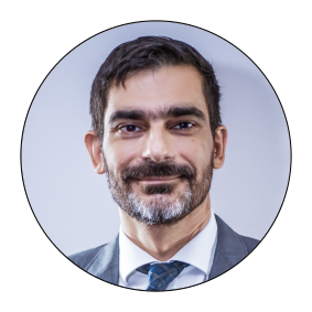
Associate Professor of Geoinformatics at the Department of Civil Engineering and Geomatics of the Cyprus University of Technology (CUT). He currently serves as Vice Dean of the School of Engineering and Technology. He has coordinated iMARECULTURE a H2020 Research and Innovation Project, for underwater XR museums, with 11 partners from Europe and Canada. His research interests and publication record include UAV mapping, optical bathymetry of coastal areas, underwater 3D modelling, and CH applications of the afore mentioned topics. Recent areas of interest include mobile mapping and the use of small ROVs for 3D recording.
For 12 years he worked as free-lance land surveyor in Greece, court expert and technical consultant in geoinformation companies in nationwide projects. During that period, he has participated in research projects for archaeological site and monument recording, copies of museum exhibits, real time quality control applications using machine vision, AUAVs for mapping. During his post in CUT, he has participated or coordinated in research projects with UAV mapping, UAV coastal mapping and bathymetry, Parthenon frieze precise 3d modelling, mobile mapping platforms and satellite imagery processing.
He is the lead surveyor in Mazotos shipwreck, underwater excavation, since 2010, Nisia excavation since 2014 and Protaras shipwreck since 2019.He is the academic representative of Cyprus in EuroSDR (since 2010) and co-chair in International Society of Photogrammetry and Remote Sensing, Commission II (2016-2021), Working Group 9, about underwater photogrammetry. He has Chair of the organizing committee for the Underwater 3D Recording and Modelling Workshop, organized in Limassol, Cyprus, in May 2019 under ISPRS and CIPA auspices.

